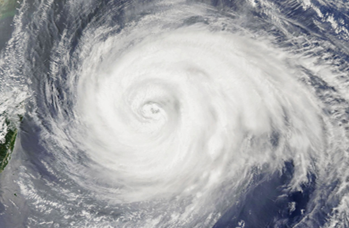
China’s first typhoon of 2025 is officially on the way—and it’s named Wutip (Butterfly).
On June 10, meteorological authorities confirmed that a tropical disturbance in the South China Sea has intensified and will develop into Typhoon No.1 of the year, expected to move toward coastal areas between central Guangdong and southern Hainan.
The typhoon, named Wutip according to the WMO’s Western North Pacific naming list, is forecast to bring heavy rain and strong winds beginning June 12.
Cities across Guangdong and Hainan are expected to see downpours and potential flooding, with local weather stations warning of storm surges and power outages.
This marks a notably late start to the typhoon season.
According to official data from China Meteorological Administration and international storm databases, the first typhoon of the year typically forms much earlier—in fact, during the past decade, most first typhoons formed as early as March.
The latest formation in the past decade occurred in 2016, when the first typhoon of the year, Nepartak, didn’t form until July 3.
As high temperatures continue to grip southern China, with parts of Guangdong Province recording over 40°C in recent days, the typhoon may bring temporary relief in the form of widespread rainfall—or potentially much more disruption.
Travelers planning outings for Father’s Day weekend should monitor weather updates closely and consider postponing or rerouting any trips to affected coastal areas.
Whether you stay in or brave the showers, remember—summer in South China isn’t summer until the first typhoon hits.
And it will very soon!
READ MORE: How to Track Typhoons Hitting China on WeChat and Web
Follow our WeChat official account, ThatsGBA, for weekly updates on city events and seasonal travel tips.
[Cover image by Flickr]


0 User Comments